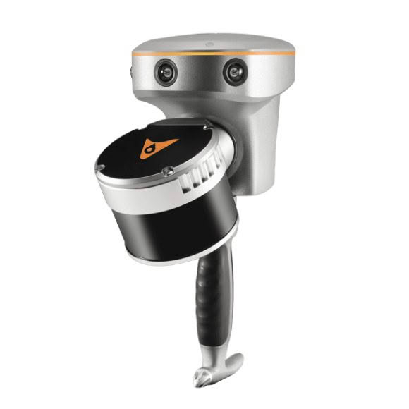
CHCHNAV RS10 Laser Scanner
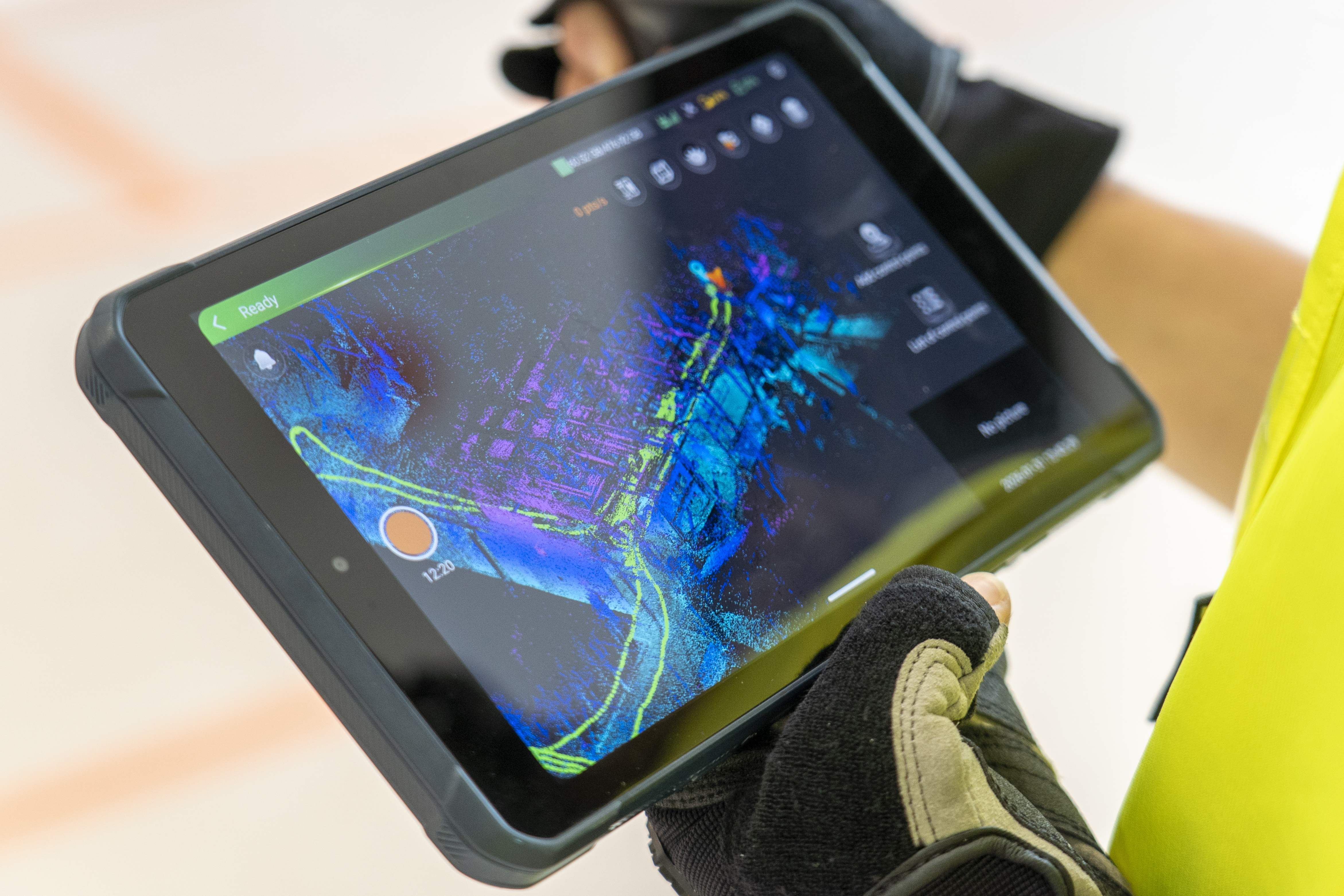
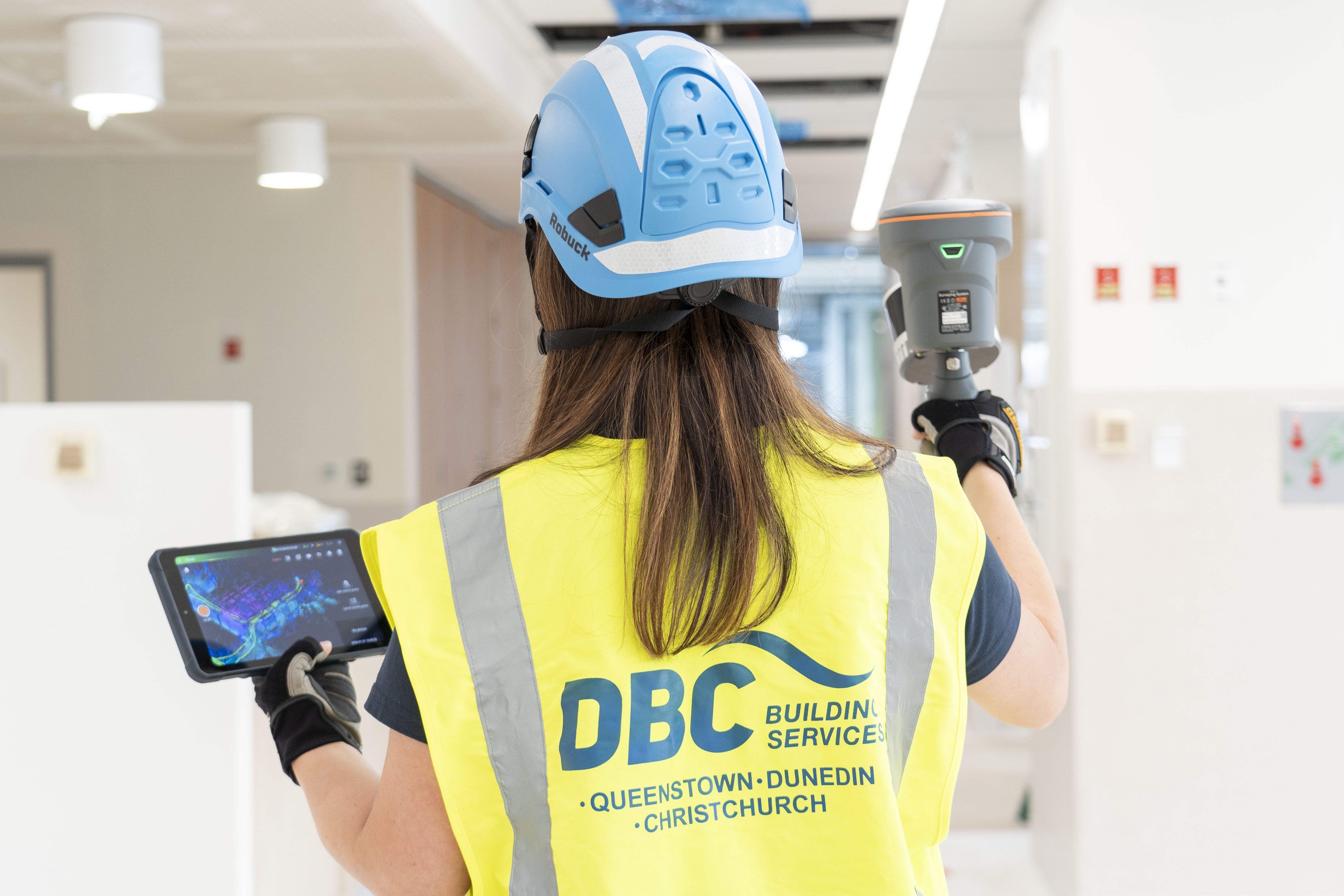
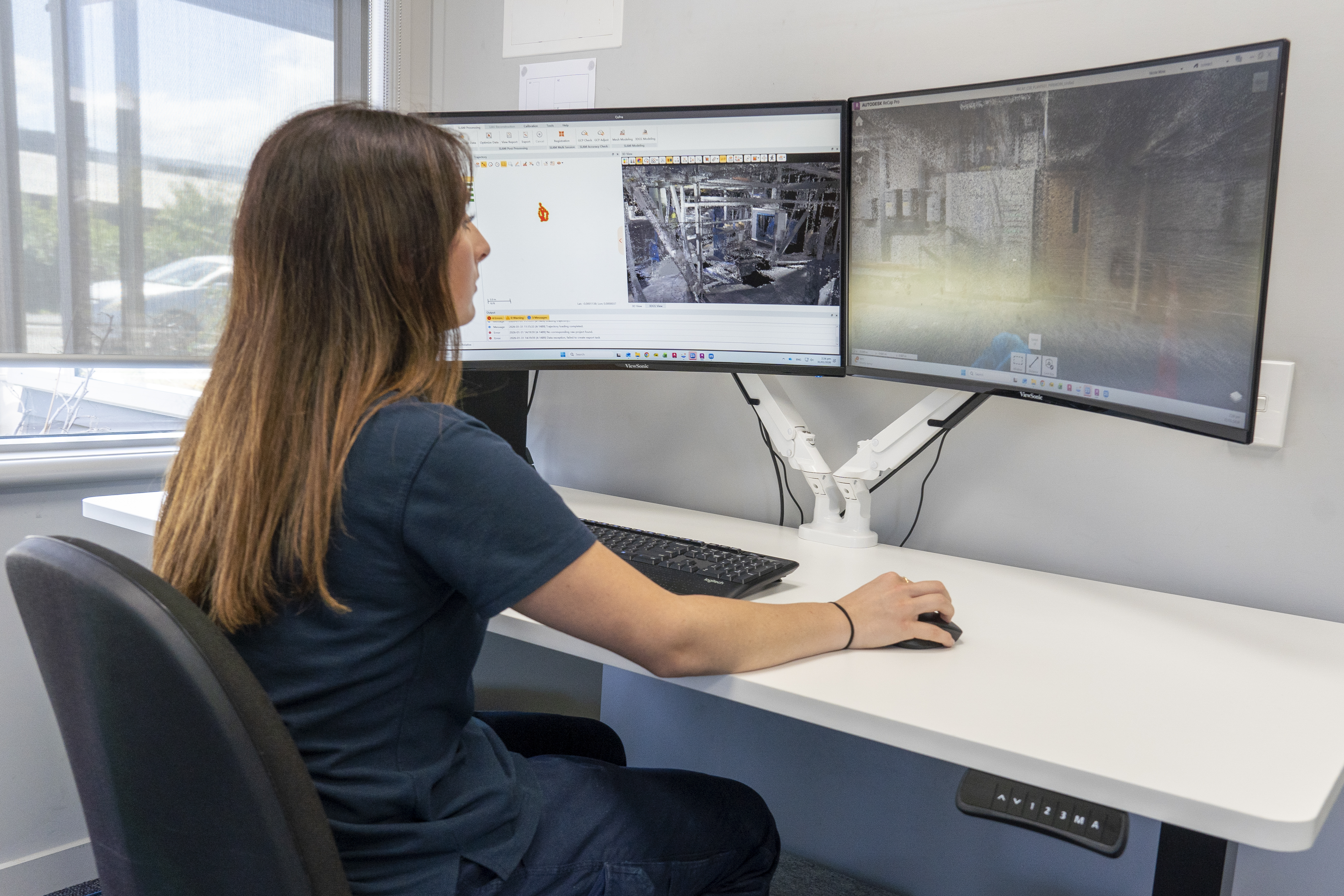
The RS10 integrates GNSS RTK, laser scanning, and visual SLAM technologies into a single platform designed to improve the efficiency and accuracy of indoor and outdoor 3D scanning and surveying tasks. The RS10 is a versatile solution for surveying, civil engineering, and BIM professionals, as well as for applications such as agricultural and forestry surveying, power line inspection, material pile volume calculation, and data collection in underground spaces.